Tornado formed in Beaufort County early Tuesday due to Tropical Storm Debby, NWS confirms
READ MORE
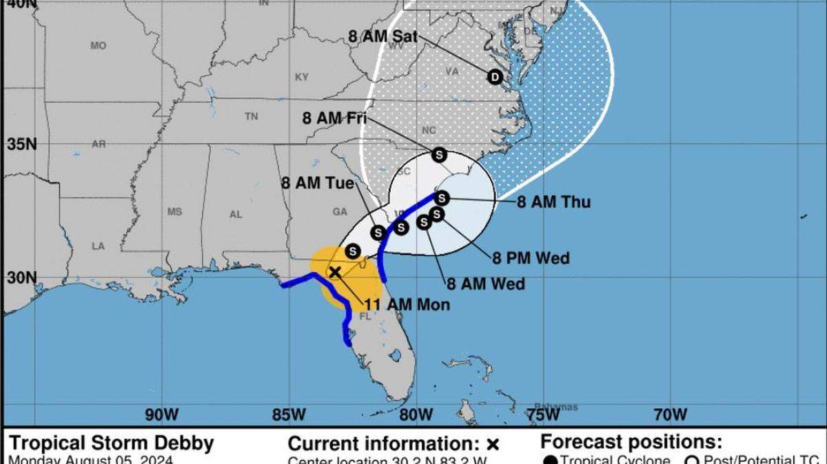
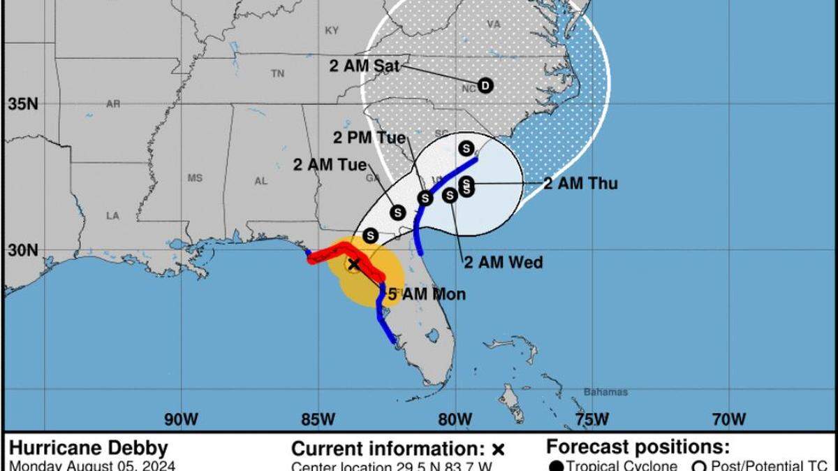
Tropical Storm Debby
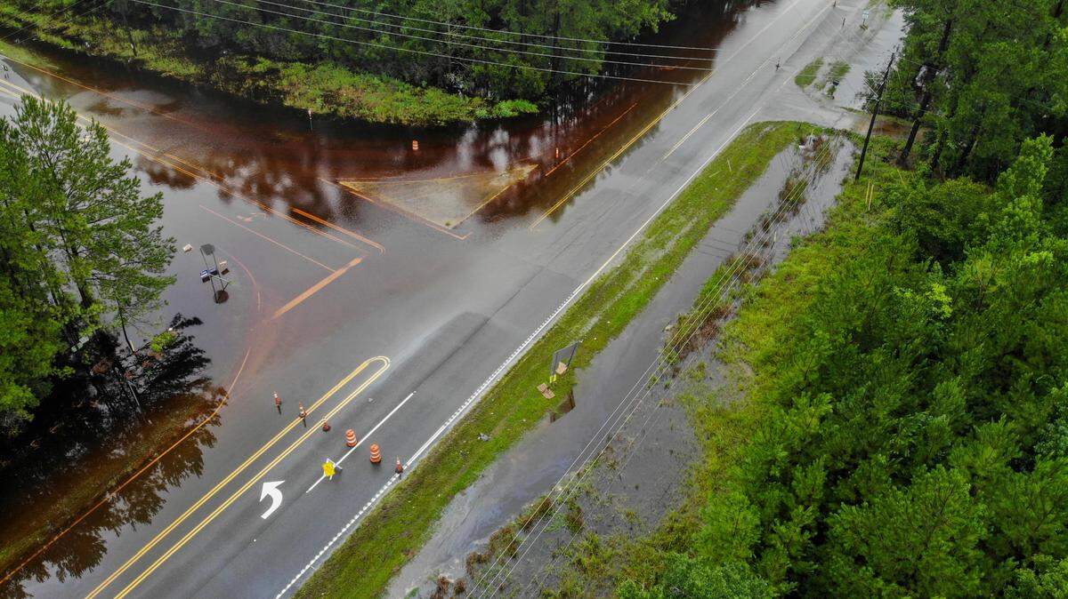
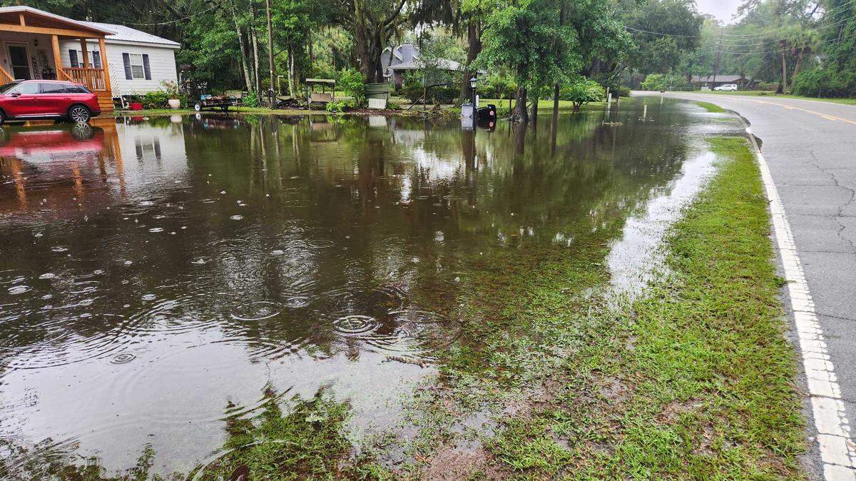
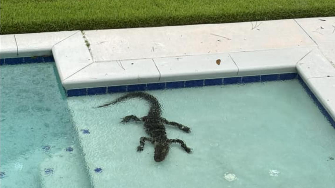
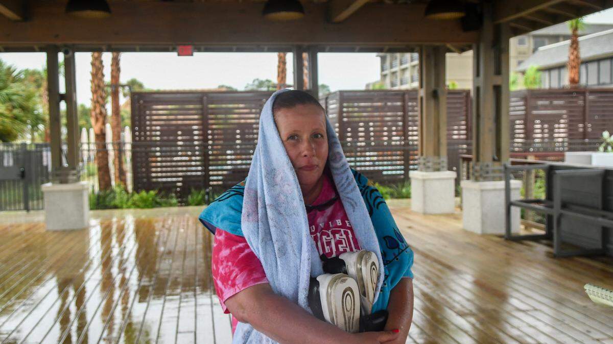
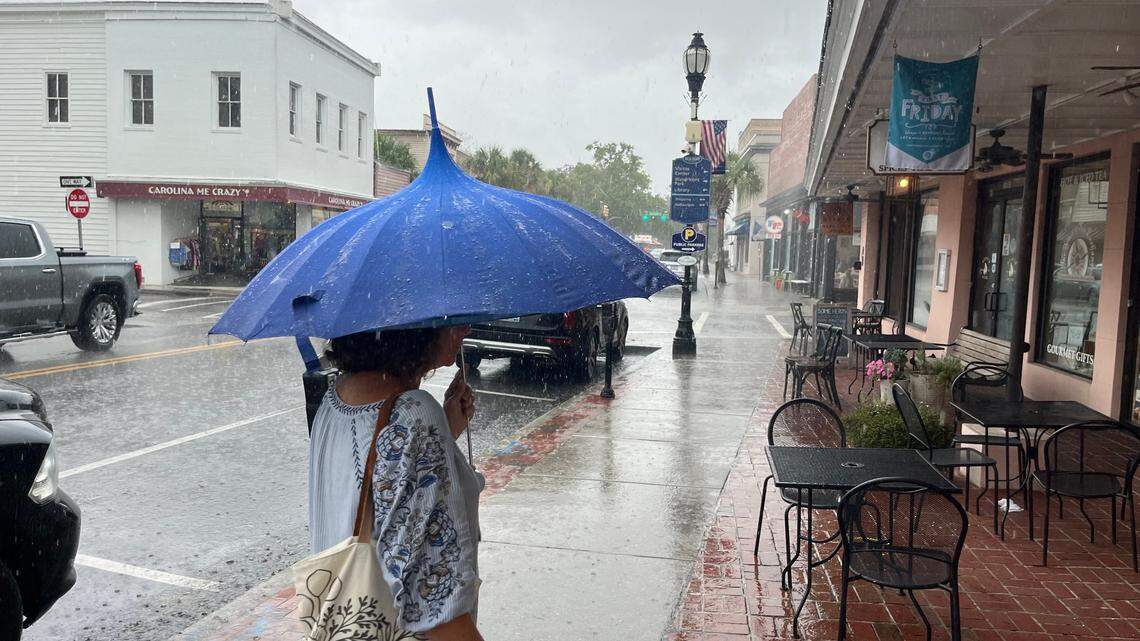
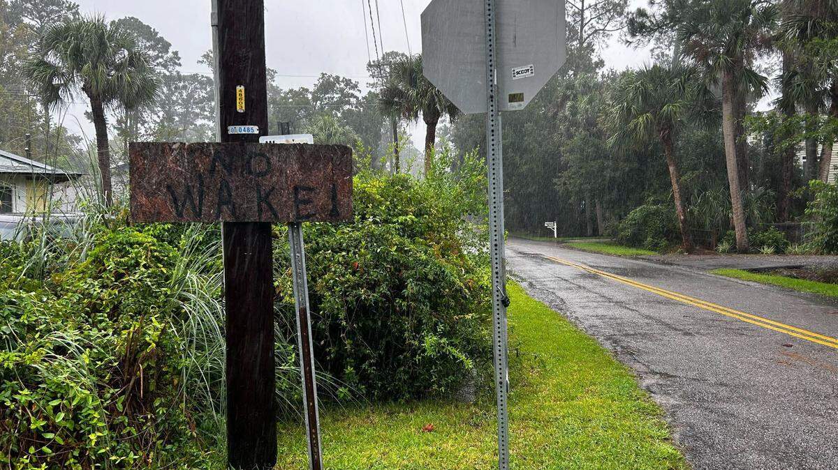
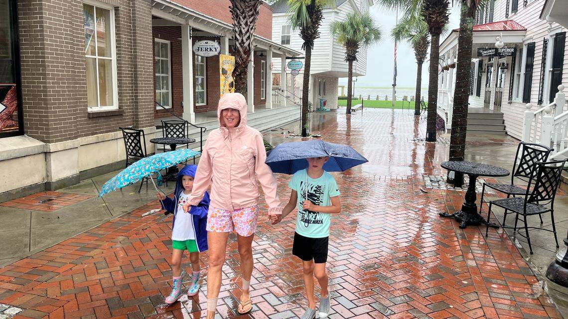
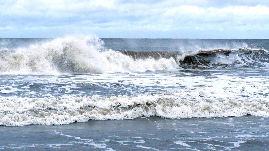
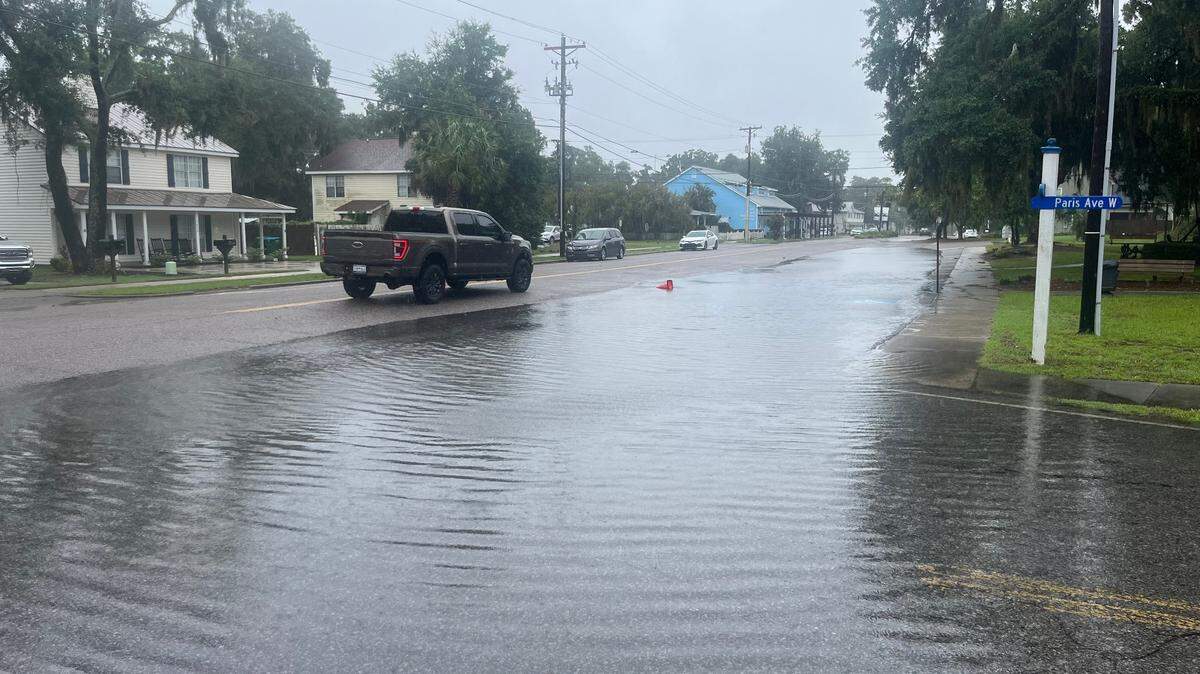
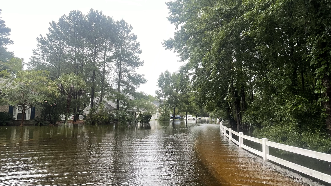
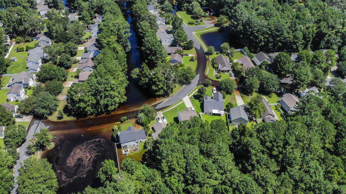
Tropical Storm Debby made landfall August 5 as Category 1 storm in Florida’s Big Bend region. As it moves up the Southeast Coast, the system could dump historic rainfall in Beaufort County.
Expand All
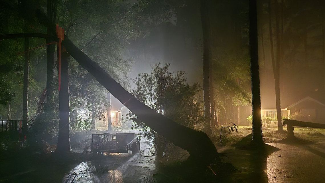
Heavy winds from Tropical Storm Debby generated a “short-lived” tornado on Lady’s Island early Tuesday morning, the National Weather Service’s Charleston office confirmed Wednesday afternoon.
Forecasters determined the twister was an EF0, according to NWS lead meteorologist Peter Mohlin. It’s the weakest category in the agency’s modern rating system, corresponding to wind gusts of 65 to 85 miles per hour.
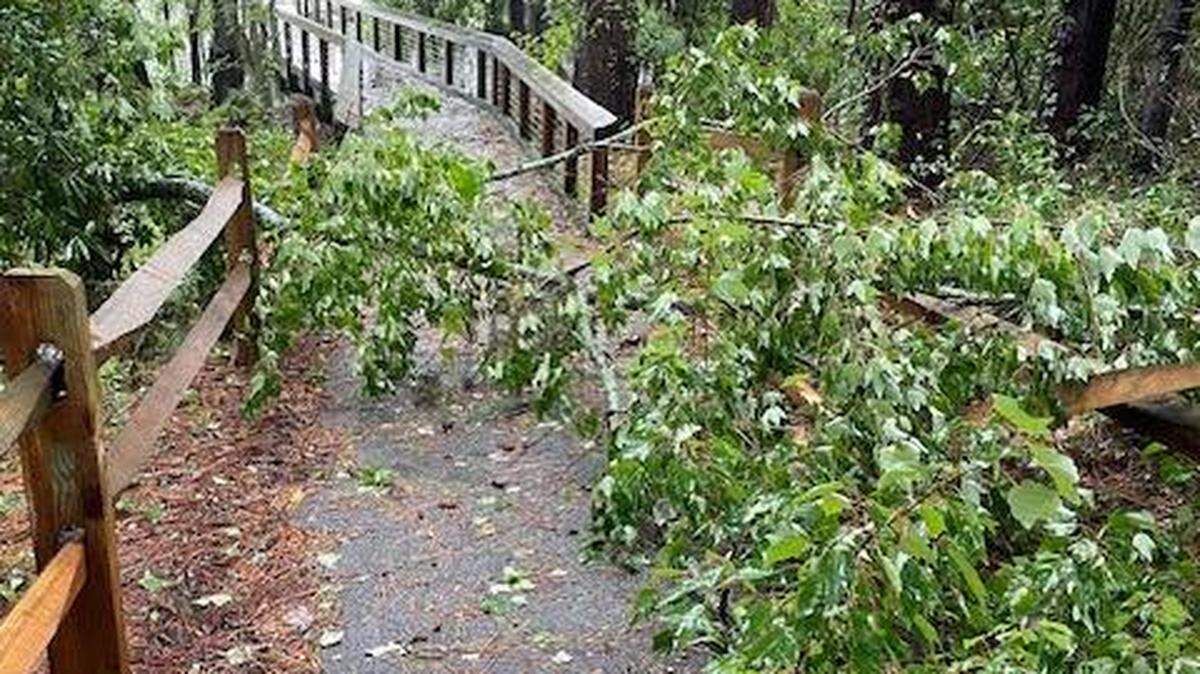
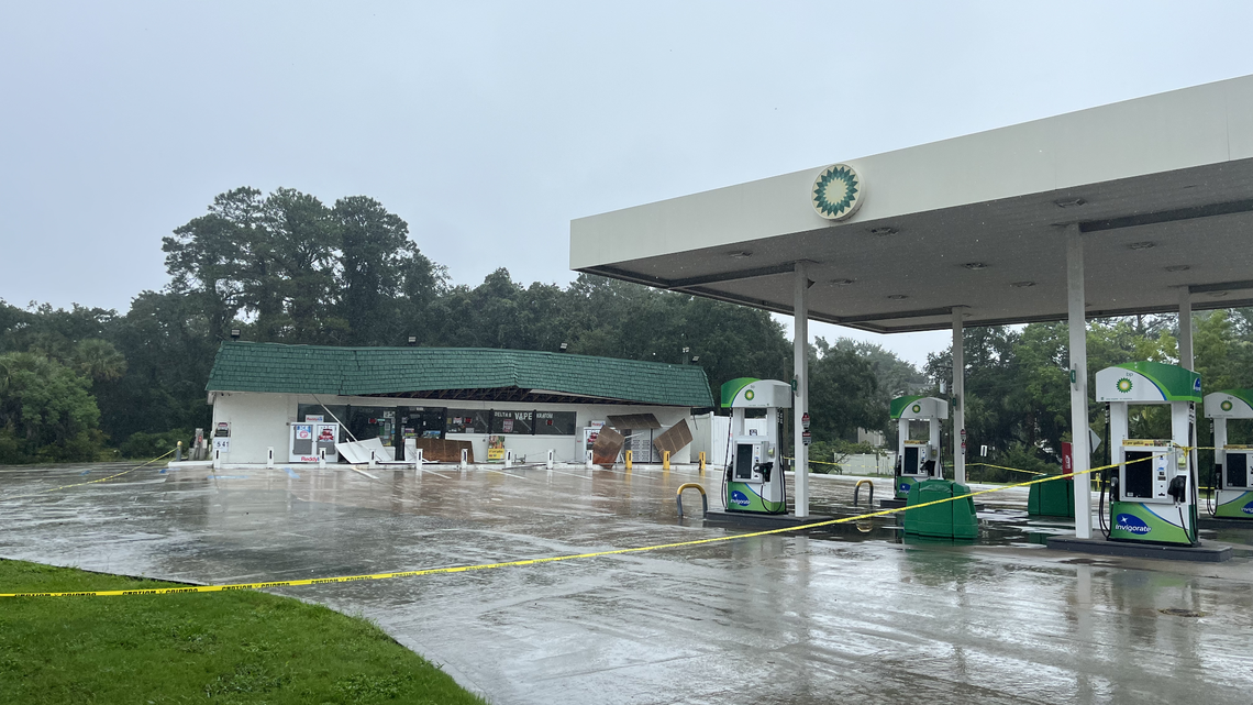
The high-wind event occurred around 1 a.m. Tuesday and split trees in homeowners’ yards along Sams Point Road, damaging one car and a garage roof, according to reporting from The Post and Courier.
An NWS report released Wednesday night says the tornado developed at 12:53 a.m. Tuesday over Point Creek, just southeast of Lady’s Island, and “moved rapidly northwest” through the marsh toward a residential area. It snapped several trees along Holly Hall Road and near the 500 block of Sams Point Road before quickly dissipating south of Wade Hampton Drive around 12:56 a.m., according to the report.
Altogether, meteorologists predict the twister lasted three minutes, traveled just over two miles and generated peak wind speeds of 85 mph. Occupants of two houses on Sams Point Road “reported hearing a roar” as it spun past, according to storm chaser Ben McHone. No residents were hurt.
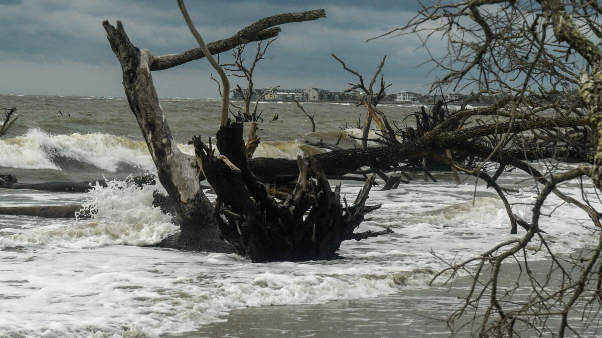
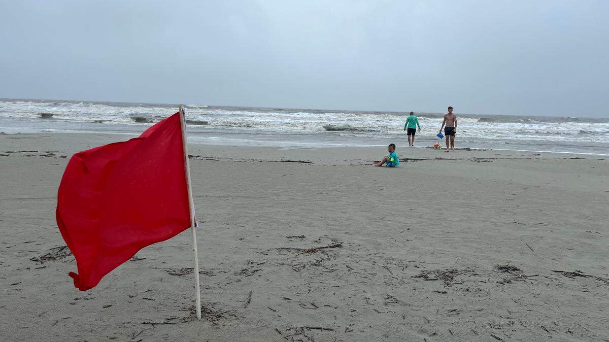
As of Wednesday night, the NWS had confirmed four minor tornadoes in the Lowcountry that originated from Tropical Storm Debby. No injuries were reported after an EF1 twister touched down Monday night in Edisto Beach, bringing “severe damage” to homes and businesses in the area.

Hurricanes and tropical storms can lead to the formation of tornadoes. As the outer bands of a storm reach land, winds are slowed closer to the ground but remain strong at higher altitudes. That difference leads to wind shear — a variation in wind speed and direction at different heights — which creates the spin required for a tornado to form.
Tornadoes produced by extreme tropical activity usually dissipate quickly, the NWS says, but they “still pose a significant threat.”
This story was originally published August 7, 2024 at 5:39 PM.

.jpeg)