List of flood-prone areas in Beaufort Co. as Tropical Storm Debby signals record rainfall
READ MORE
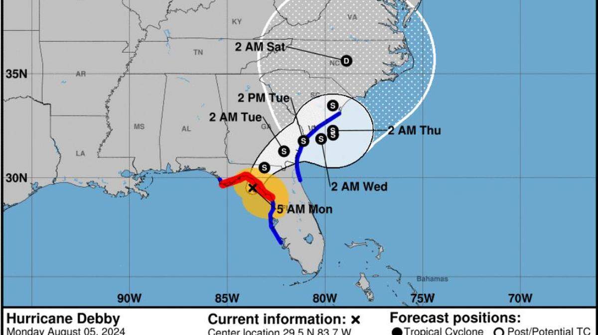
Tropical Storm Debby
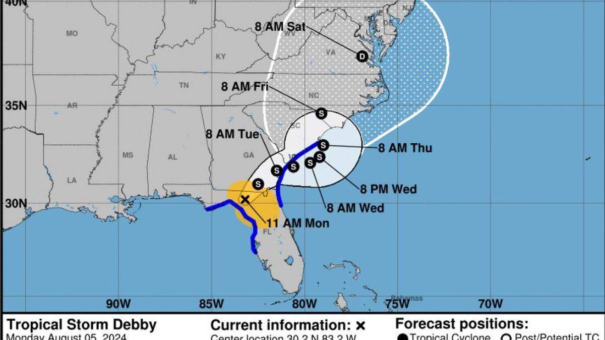
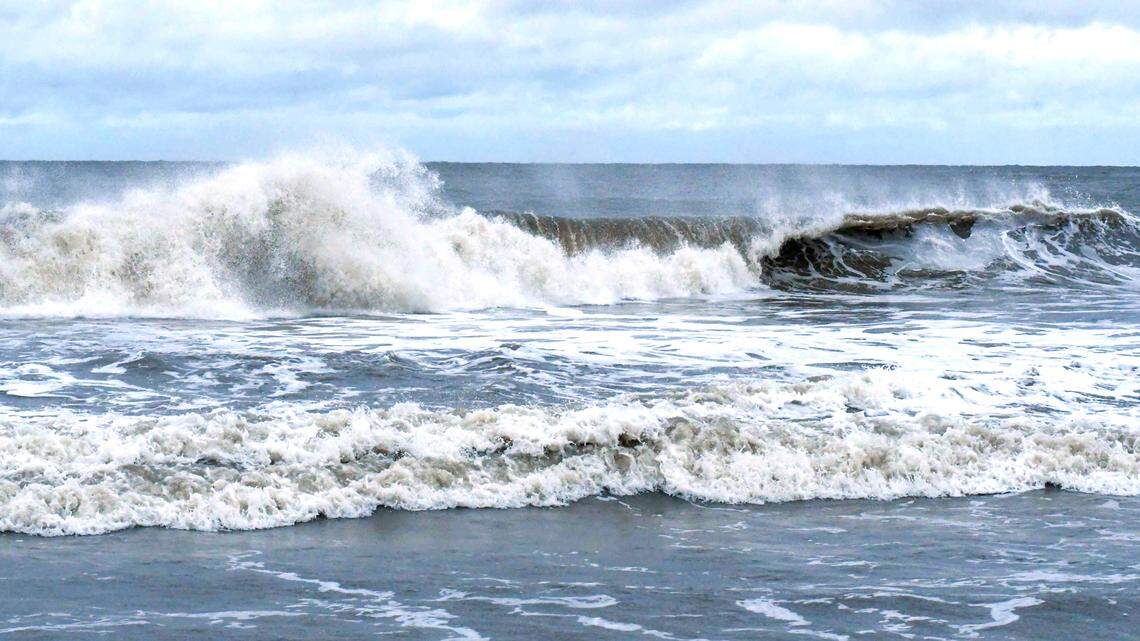
Tropical Storm Debby made landfall August 5 as Category 1 storm in Florida’s Big Bend region. As it moves up the Southeast Coast, the system could dump historic rainfall in Beaufort County.
Expand All
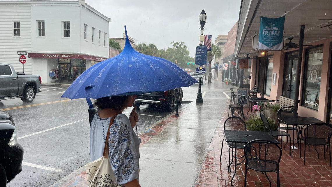
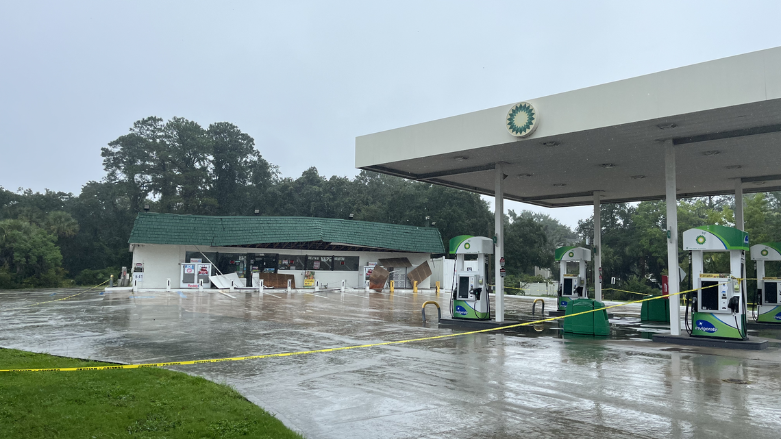
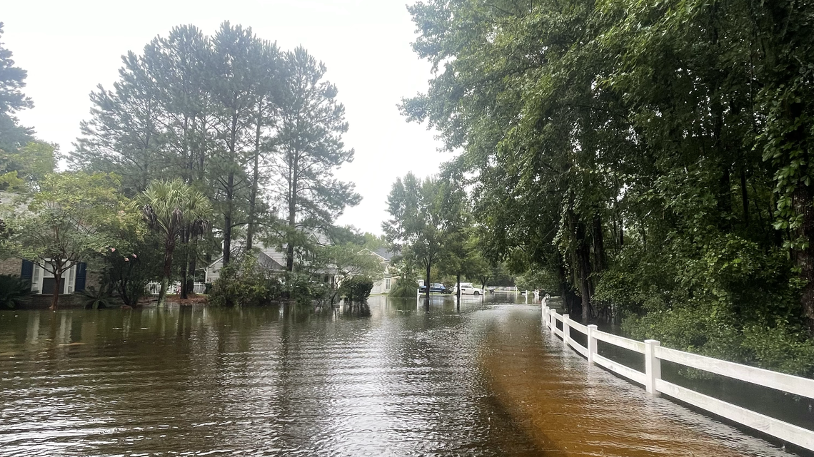
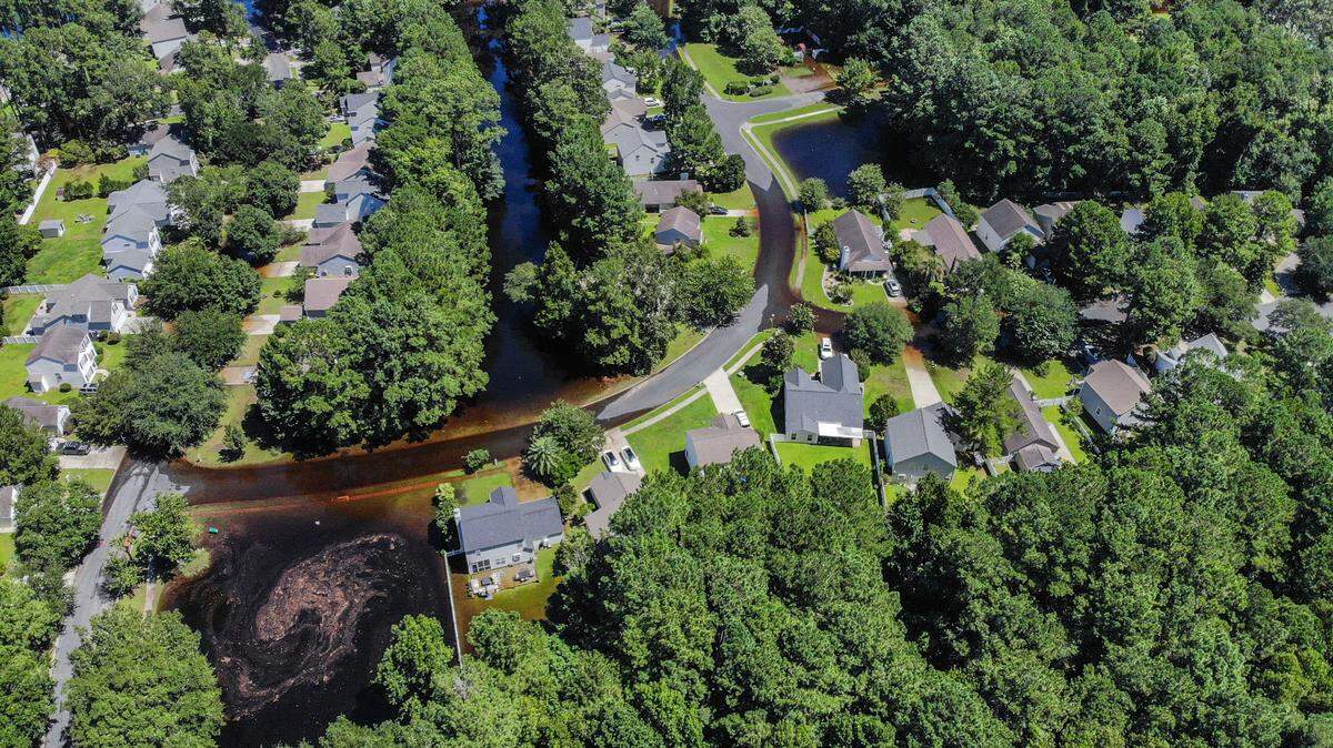
Tropical Storm Debby is poised to bring “historic” rainfall to the Beaufort County area this week, with some forecasts predicting up to 30 inches of rain.
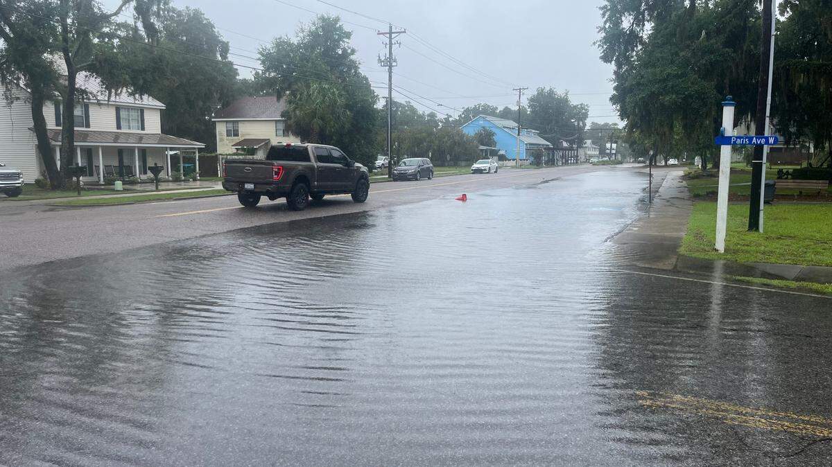
As the downfall begins, here’s a list of the most flood-prone areas in the Beaufort and Bluffton areas. Alternate routes will be suggested whenever possible.
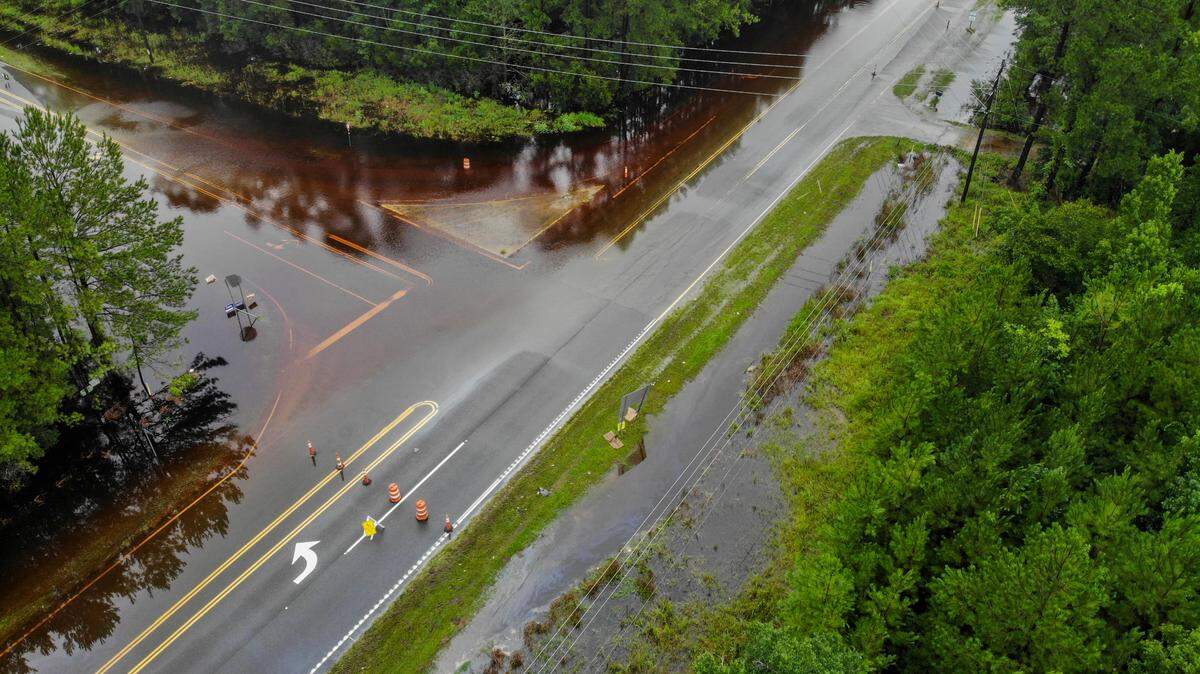
- U.S. 278/S.C. 170 interchange: Flooding is fairly common at the junction of the two highways, which has been undergoing nighttime construction to expand the on-ramp from Okatie Highway to Fording Island Road. In the event of a closure, motorists can use Bluffton Parkway and the southern portions of S.C. 170 as an alternate route.
- Bluffton Parkway: The parkway’s intersection with Simmonsville Road is frequently affected by heavy rains. May River Road or U.S. 278 can be used as detours.
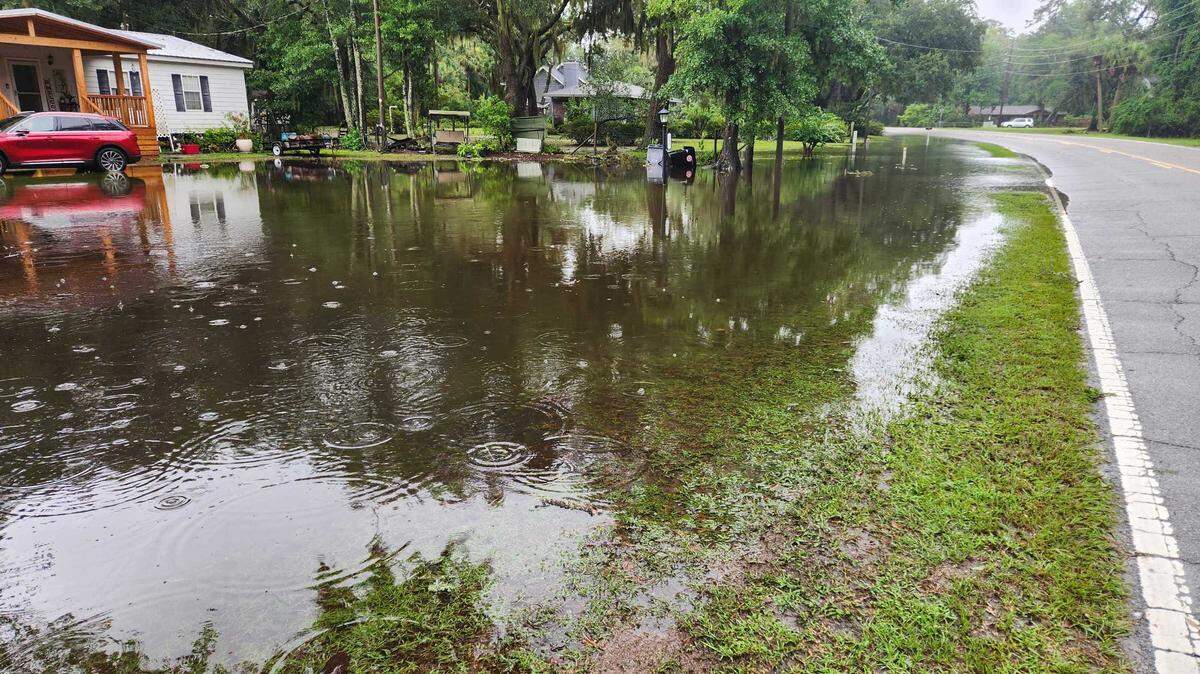
- Alljoy neighborhood: The low-lying community along the May River is often inundated with water after just a few inches of rainfall, caused in part by clogged drainage ditches that some residents say aren’t being properly maintained.
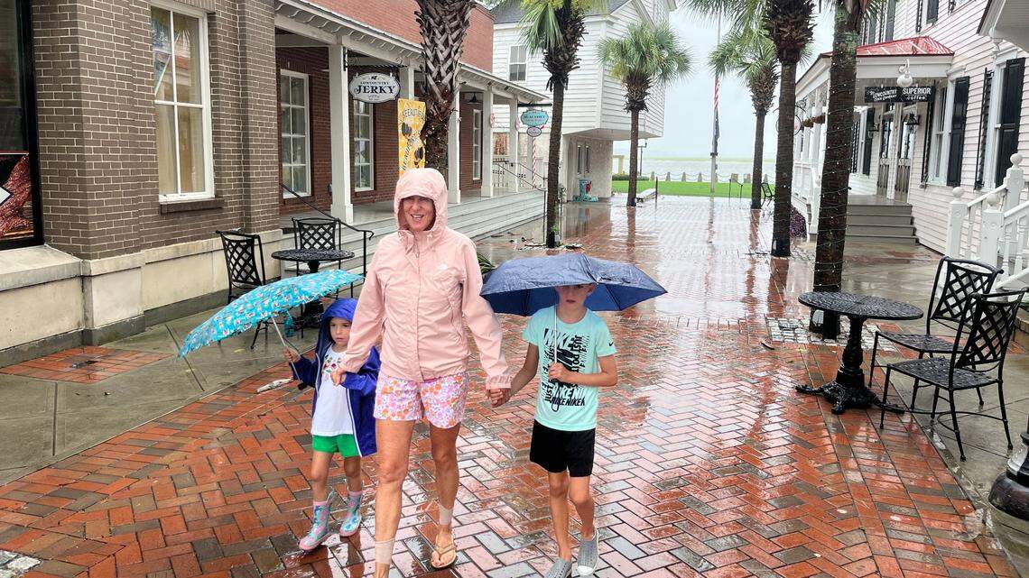
- Downtown Beaufort: Inefficient and aging stormwater systems frequently lead to flooding in the Old Point neighborhood as the sea level rises near the historic coastal community.
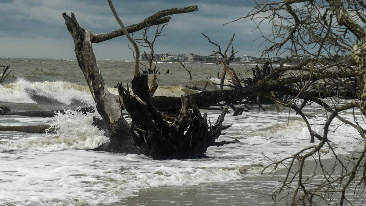
Low-lying areas on Hilton Head
Surrounded by water on all sides, Hilton Head Island is especially prone to flooding during higher-than-average rainfall. Low-lying areas shaded red in the map below — including most of the Sea Pines resort, the eastern coast and mid-island neighborhoods like Shelter Cove and Long Cove — are most at risk of being inundated with water, according to the town.

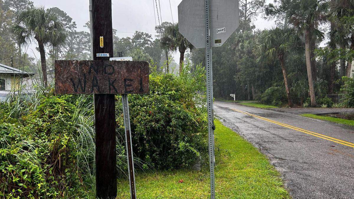
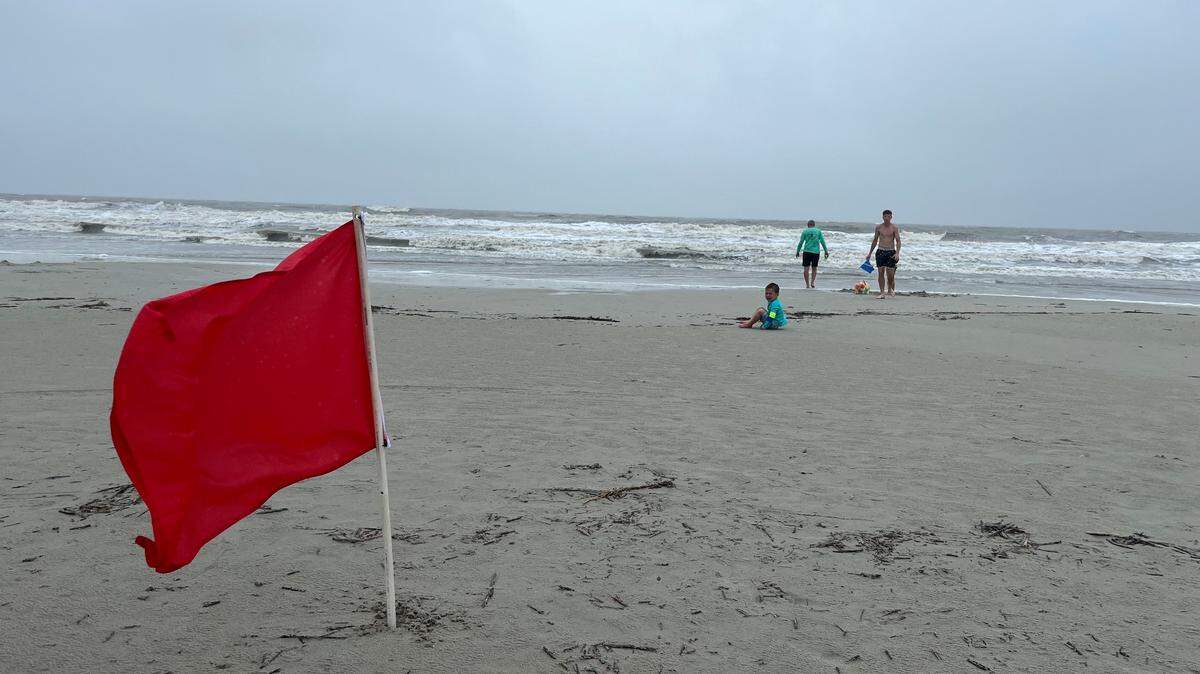
Officials discourage unnecessary travel when flood risk is high. Just 12 inches of water can overtake a small car, and 18-24 inches can overpower larger vehicles, the National Weather Service warns. Floodwaters may also be hiding electrical wires, debris or other dangerous objects.
As of 11 a.m. Monday morning, Beaufort County was under a flood watch and storm surge warning. Storm surges occur when intense weather raises sea levels above normal heights, which can cause extreme flooding, especially when coinciding with high tide. They are often “the greatest threat to life and property from a hurricane,” according to the NWS.
This story was originally published August 5, 2024 at 11:33 AM.

.jpeg)