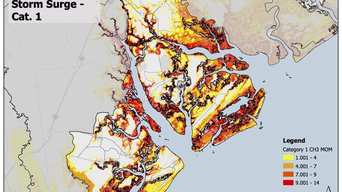
Are you in a flood-prone zone? Here’s a map of at-risk areas in Beaufort Co.
READ MORE
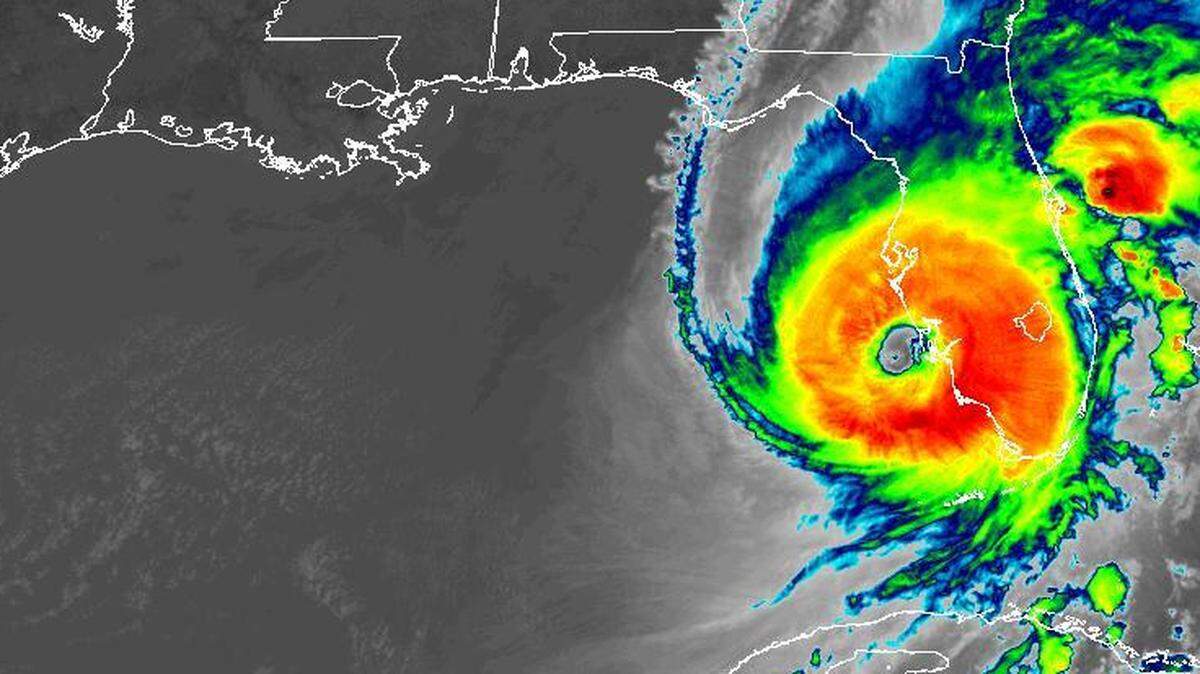
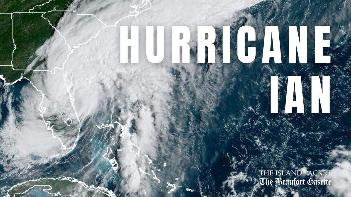
Hurricane Ian hits SC coast
The latest news and updates on Hurricane Ian.
Expand All
Beaufort County’s storm surge forecasts have lessened, but risk still remains, officials warn.
The National Weather Service dialed down forecasts for storm surge heights from 4-6 feet to 2-4 feet. Despite the decrease, the new projections are still considered life-threatening.
Beaufort County was still under a storm surge warning and flood watch until midnight Friday, with peak wind forecasts of 35-45 mph and gusts up to 70 mph, but by Saturday, those watches will have ended.
The Beaufort County Sheriff’s Office is discouraging unnecessary travel, especially during high tide, according to spokeswoman Maj. Angela Viens.
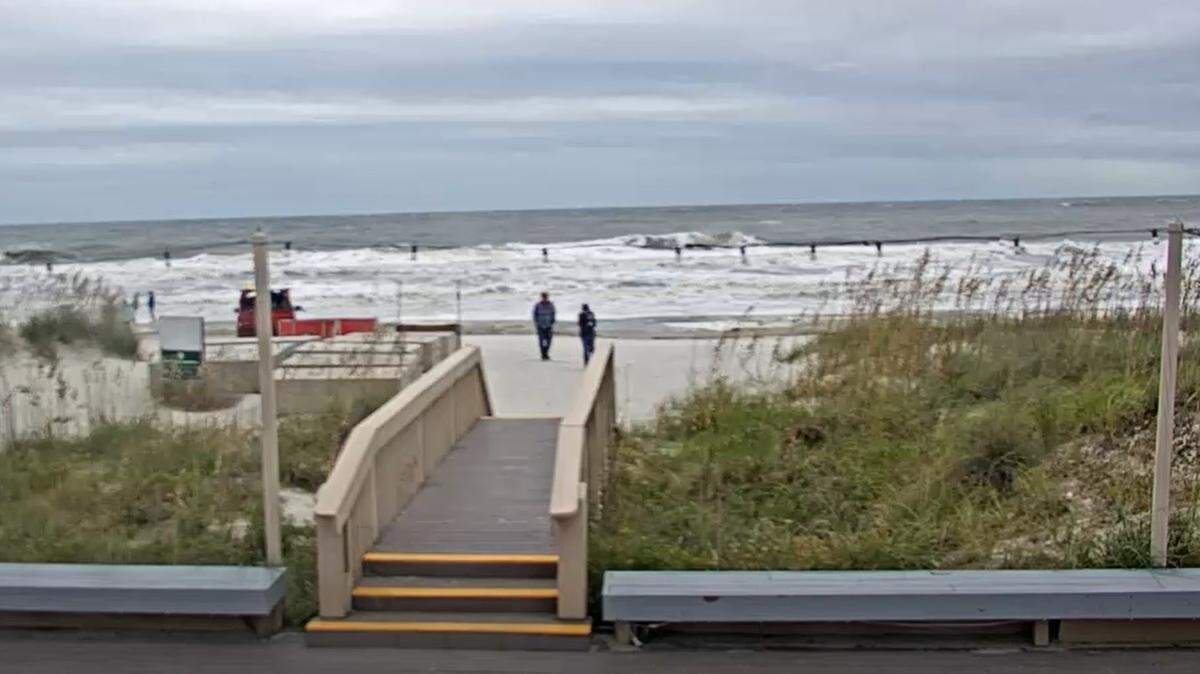
High tide occurred at 12:45 p.m. Friday, and low tide started at about 7:20 p.m. Friday, according to Tides & Currents, a tide-monitoring tool powered by the National Oceaning and Atmospheric Administration.
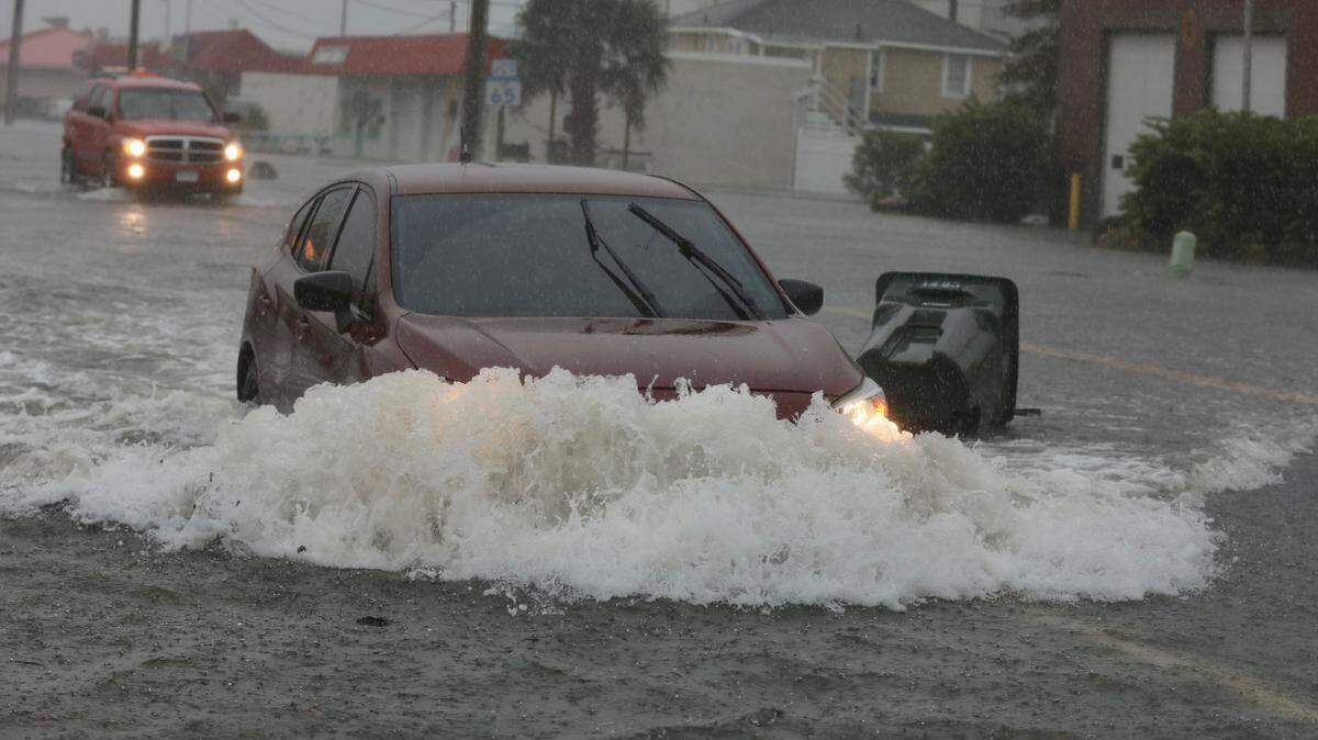
Just 12 inches of water can overtake a small car, and 18-24 inches can overpower larger vehicles, the NWS warns. Floodwaters may also be hiding electrical wires, debris or other dangerous objects.
If travel is necessary, Viens advised residents to practice common sense: Don’t drive through roadways with standing water, fallen trees or downed power lines.
Worry of dysfunctional traffic signals is low, Viens said. Most signals that were affected by Friday morning’s power outages were back in operation later in the day.
Is my area at risk of flooding?

This story was originally published September 30, 2022 at 2:09 PM.