Four storm systems are brewing in the Atlantic. Will any impact Hilton Head Island?

READ MORE
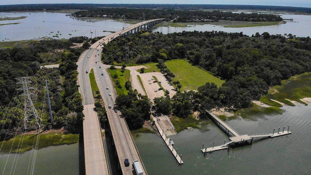
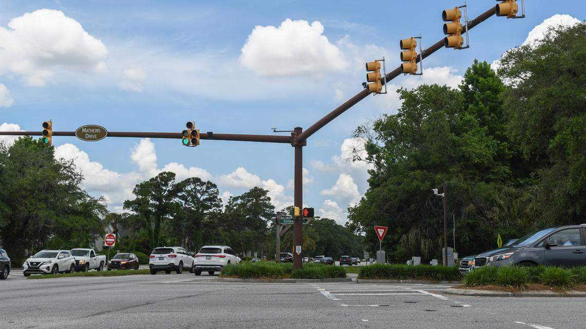
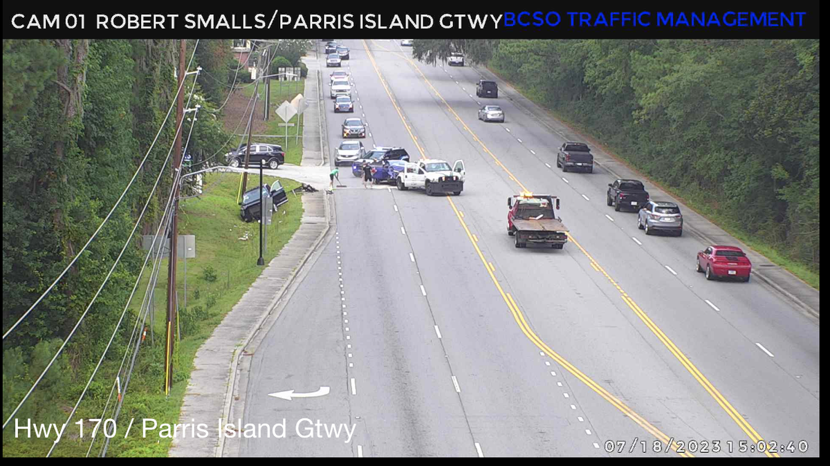
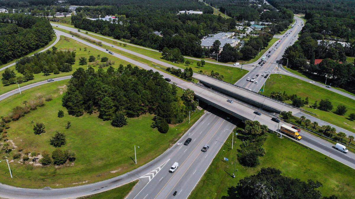
Beaufort County Traffic
As Beaufort county’s population has grown in recent years, bringing more vehicles to the roads, the diverse mix of drivers are contributing to the increase in traffic volume at intersections.
Expand All
While Gulf Coast states grapple with the aftermath of Francine, which made landfall Wednesday in Terrebonne Parish, Louisiana, as a Category 2 hurricane, local meteorologists have their attention turned to a different system that could bring impacts to the Lowcountry.
On Thursday morning, the National Weather Service’s Charleston Office issued an overview of a disturbance brewing off the Southeast coast that had the potential of tropical or subtropical development. If the system develops, it would likely form along a front off the Carolina coast Sunday, the NWS said. It would then track north or northwest, possibly reaching near the coasts early next week.
Meteorologist Brittany MacNamara said there was a 30% chance of tropical development over the next seven days. However, the service said Thursday there was “much uncertainty” with the forecast and it was “too early” to determine if the Lowcountry would be directly affected from this potential system.
Despite the early predictions and based on current weather patterns, the NWS said it anticipated between Thursday and Tuesday, the area would be at an enhanced risk for rip currents and coastal flooding.
Local meteorologists said there is a possibility of coastal flooding, with an increasing threat into next week as it nears the full moon and perigee. A full moon Tuesday will bring Hilton Head Island’s evening high tide at 8:55 p.m. to 9.5 feet, according to US Harbors’ site. In Beaufort, Tuesday night’s high tide will reach 9.1 feet at 9:22 p.m.
Alongside the high tides, rainfall between Thursday and Tuesday may total up to 1.5 inches in Beaufort County, MacNamara said.
What’s brewing in the tropics?
On Thursday, the National Hurricane Center outlined three tropical Atlantic systems with the chance of cyclone formation within the next 48 hours. Two had a low chance of development over the next week.
At 11 a.m., the center of Tropical Depression Seven was 710 miles west of the Cabo Verde Islands and moving toward the west-northwest near 17 mph, according to the NHC. Forecasters expected the system to churn west-northwest to a west motion at a slower forward speed over the next few days. The system’s maximum sustained winds were near 35 mph with higher gusts, the center said.
The NHC predicted the tropical depression would gradually strengthen over the next 48 hours and potentially upgrade to a tropical storm later Thursday.
One of the disturbances in the central tropical Atlantic was producing showers and thunderstorms that had become a “bit more concentrated in association” with a small area of low pressure a few hundred miles east of the Leeward Islands, the center said. But the dry air near the system was predicted to limit additional development. The system had a 20% chance of formation in the next 48 hours.
The second disturbance was several hundred miles east of the Leeward Islands and moving westward at 10 mph. The NHC said it did not expect development of the system.
This story was originally published September 12, 2024 at 12:20 PM.