
Hilton Head area faces more 100+ degree heat. Here’s how hot and what to expect next
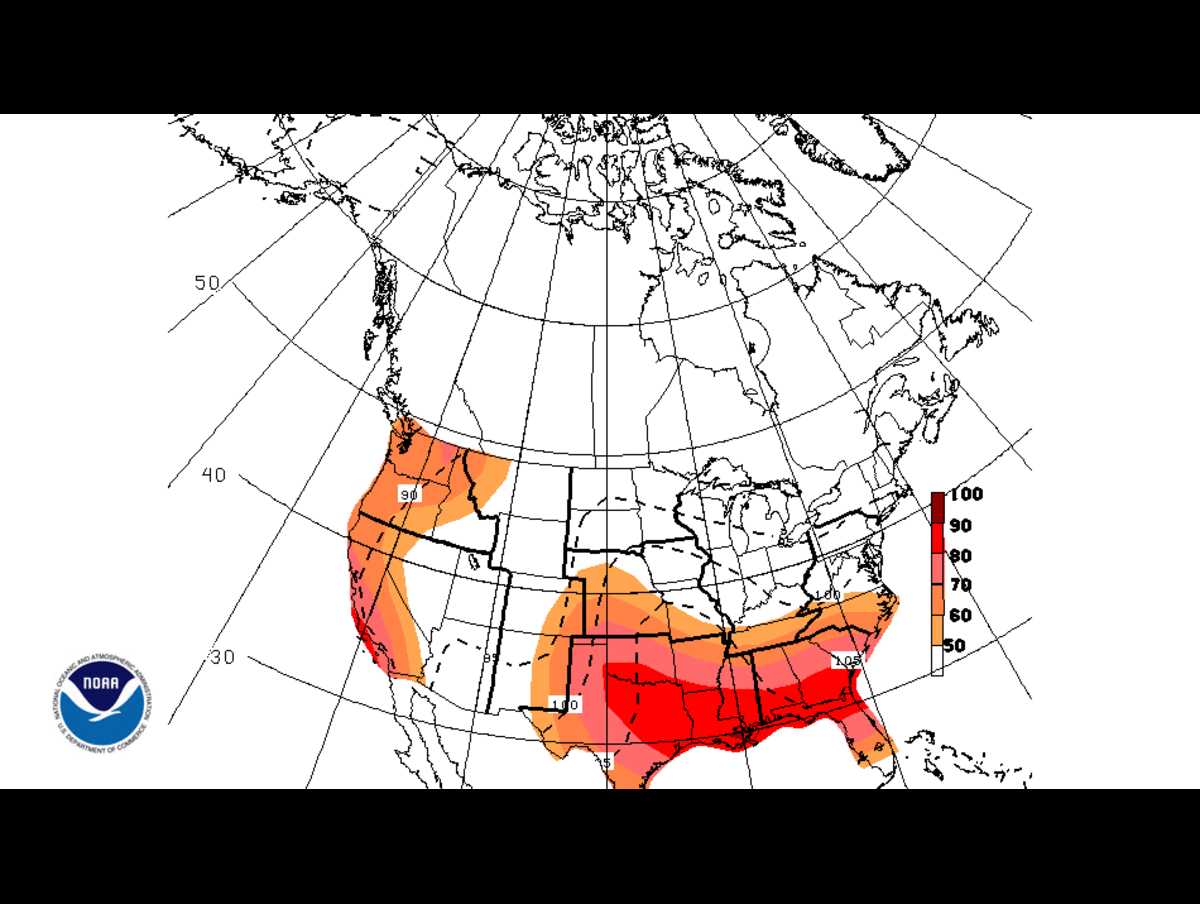
More extreme heat on the way for the Lowcountry after a short reprieve this week.
The National Weather Service forecasts triple-digit heat indices across the Lowcountry through the weekend and into next week. Cooler temperatures prevailed earlier this week after extreme heat prompted warnings from the NWS last Thursday, July 9.
And the National Hurricane Center has marked a zone of potential tropical development spanning from the Gulf of Mexico to the Carolina coast. Here’s all you need to know about the weather this weekend and next week:
How hot will it get?
Extreme heat returned Thursday as heat index observations at the Beaufort Marine Corps Air Station recorded a high of 107. Heat advisories may be needed today and over the weekend, due to the NWS’s Charleston Branch’s forecast of heat indices exceeding 108, according to a forecast discussion. Heat indices above 103 can cause heat related illnesses such as heat exhaustion and heat stroke.
The heat index forecast for Beaufort County predicts a high of 109 today, 109 Saturday, 107 Sunday and 107 Monday. Heat index highs may vary across different locations, but will be in the range of 105 to 110. Air temperature highs are expected to be in the low to middle 90s Fahrenheit over the next four days.
Showers and thunderstorms may cool off the evenings Saturday and Sunday. There’s a 20% chance Saturday night, and a 40% chance Sunday night. Monday has a 50% chance of showers and thunderstorms during the day as well.
Is a tropical cyclone coming?
The NHC marked an area with a 20% chance of tropical development over the next seven days. The development area stretches from the Florida Panhandle up through Wilmington, North Carolina. If a tropical cyclone develops, it would move north over Florida and along the Carolina coast, past the Lowcountry.
There’s only a slim chance of major impacts in Beaufort County if development occurs, according to previous Island Packet reporting. The worst may only be some extra rain, NWS’s Charleston branch Lead Meteorologist Courtney Maskell said.
The tropical cyclone would be named Bertha if it forms. It would be the second storm of the 2026 hurricane season, as the name suggests, and there’s been a month-long gap since the first of the season, Arthur, developed on June 17.
You can keep track of the forecast through the NWS here, and keep track of hurricane season here, through the NHC.