Want to know how much rain Debby will drop on your SC home? See the latest forecast
READ MORE
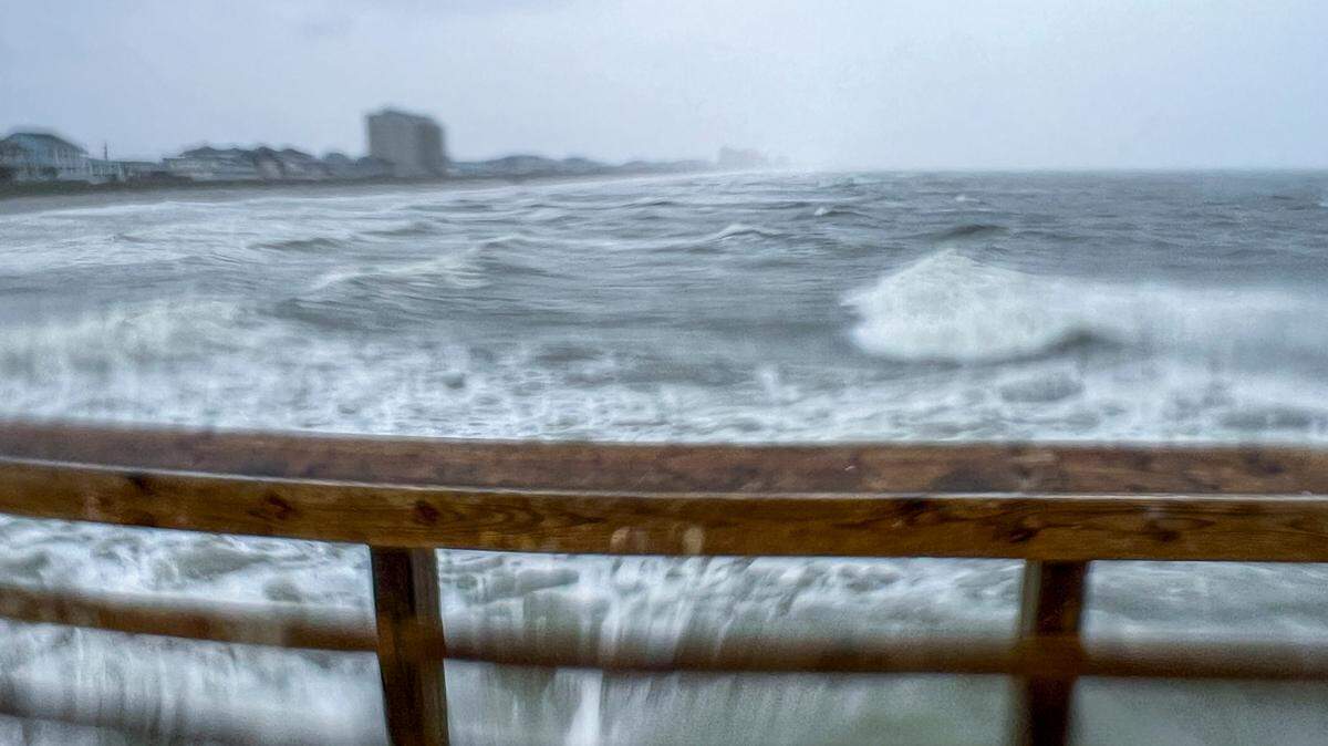
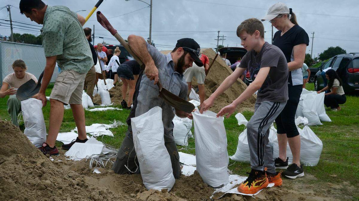
Tropical Storm Debby
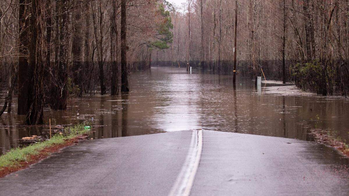
Historic rainfall from Tropical Storm Debby could lead to dangerous flooding. The rain will likely bring dangerous flooding, including flash floods, urban floods and potential storm surges.
Expand All
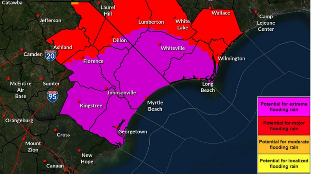
Much of South Carolina could see historic amounts of rain this week from Hurricane Debby, the latest forecast shows.
According to a National Weather Service forecast and the South Carolina Emergency Management Division, Debby is expected to move slowly over the state in the next few days, leading to potentially historic heavy rainfall of up to 30 inches in some areas.
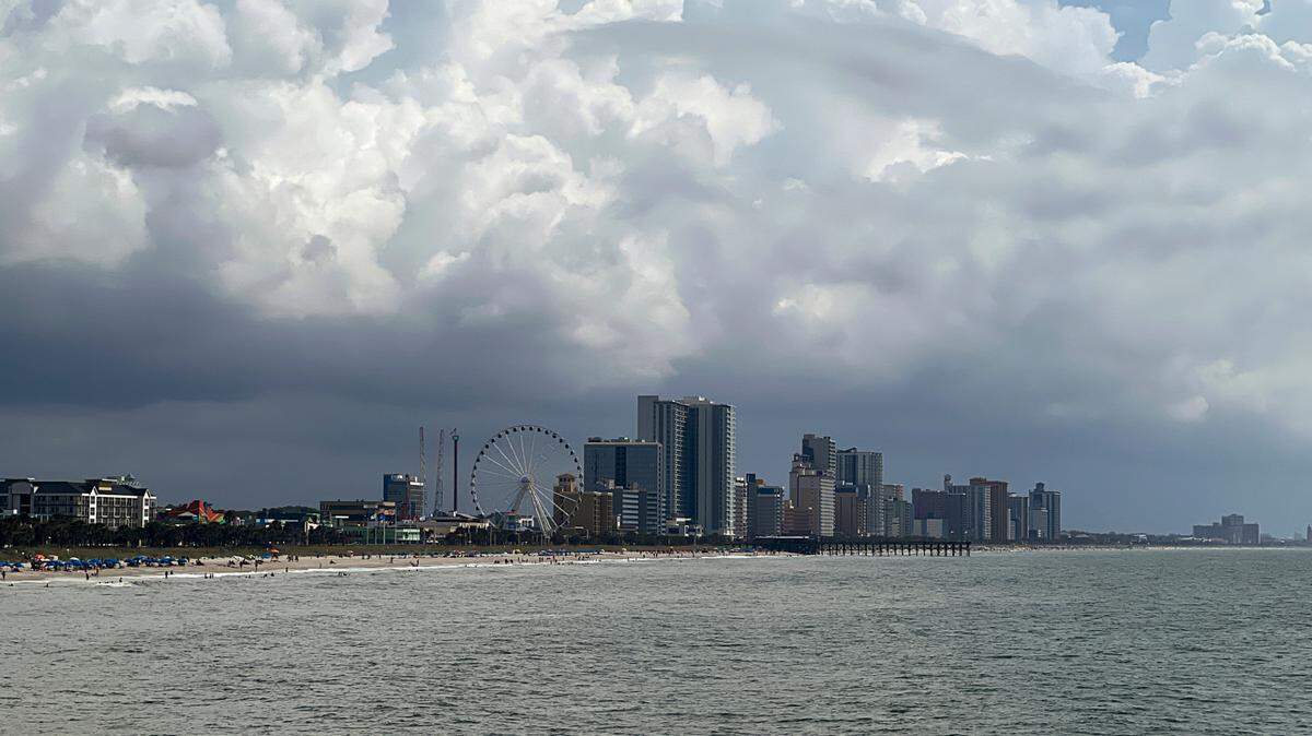
Debby made landfall in Florida on Monday. It began impacting South Carolina Monday night and will likely continue through Tuesday and Wednesday. But even after the main part of the storm moves through, more rain is expected through Friday, the NWS states.

Here’s the rainfall forecast for the next seven days based on region:
- Lowcountry: 20-30 inches
- Grand Strand: 10-20 inches
- Midlands and Pee Dee: 8-15 inches
- Upstate: 2-6 inches

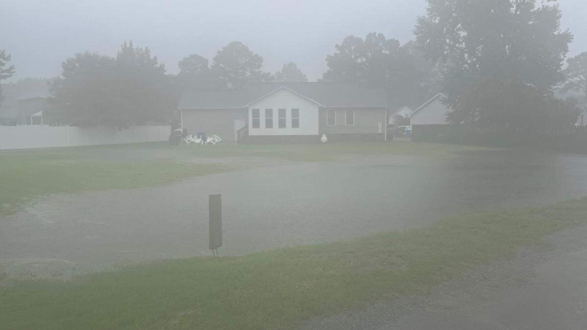
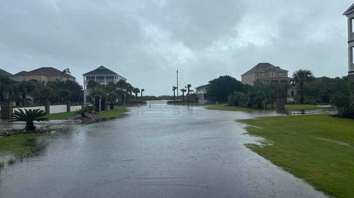
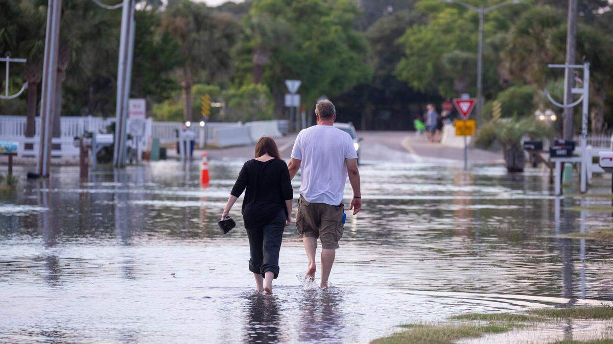
With the threat of heavy rain comes the likelihood of significant flooding.
“This amount of rainfall is expected to lead to widespread flooding as soils are saturated across much of the forecast area,” the NWS states.
As such, a flood watch is set to go into effect at noon on Monday. It’s set to last through Thursday evening.

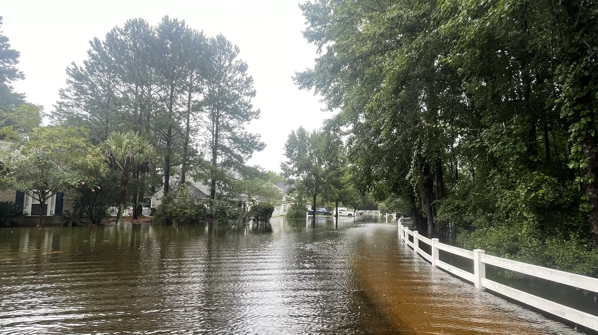
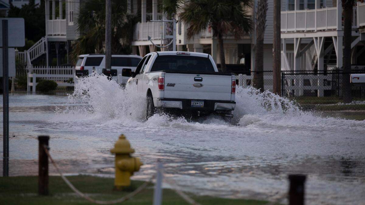
The flood watch includes most of the Midlands, such as Richland, Lexington, Kershaw, Sumter, Clarendon, Calhoun, Lee and Orangeburg counties. Extensive street flooding and flooding of creeks and rivers is possible, the NWS states.
This story was originally published August 5, 2024 at 9:43 AM with the headline "Want to know how much rain Debby will drop on your SC home? See the latest forecast."

.jpeg)
.jpeg)


.jpeg)
.jpeg)
.jpg)


.JPG)