‘Significant’ lightning risk in parts of Beaufort County. Here’s when and where
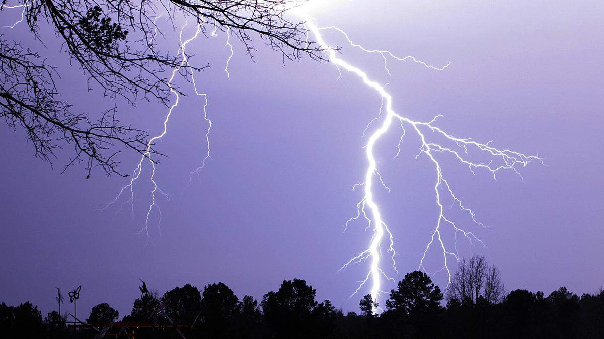
Thunderstorms are expected to blow through the Lowcountry on Monday afternoon and following into the evening, according to the National Weather Service’s Charleston office.
Damaging wind gusts lashing up to 60 mph, hail the size of ping pong balls, brief tornadoes and frequent cloud-to-ground lightning are hazards the NWS said are possible in Beaufort County. The storms may bring swaths of heavy downpours, potentially causing minor flooding in low spots. NWS Meteorologist Jonathan Lamb said Beaufort would get between 1 and 1.5 inches of rainfall.
High winds can fell trees and power lines and result in scattered power outages. The predicted hail — up to 1.5 inches — may damage roofs, siding, windows and vehicles.
Lamb said the service was “not too concerned” with the tornado threat.
On Monday, the risk for severe thunderstorms begins at 3 p.m. and lasts through 11 p.m. The most active hours will fall between 4 p.m. and 7 p.m., according to the NWS.
The service’s Storm Prediction Center highlighted the Lowcountry at a “slight risk” for the possibility of severe storms developing. A “slight risk” means scattered and severe thunderstorms are possible but will be short-lived and isolated.
Further inland in Beaufort County, there is a “significant” threat risk for cloud-to-ground lightning, which is the highest risk category based on the NWS’ ranking system. The service said lightning is one of the most underrated severe weather hazards, but it ranks as one of the ”top weather killers” in the United States.
In late-May, strong and prolonged storms ripped through the county. Lightning struck a Fripp Island vacation rental’s attic causing it to catch on fire and winds destroyed a Bluffton park pavilion. Over that weekend, quarter-sized hail pellets showered Hunting Island State Park and golf ball-sized hail hit Fripp.
This story was originally published June 10, 2024 at 9:56 AM.